UN
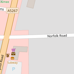
10 Norfolk Road
£ 192,000
Description
We don't have a Description for this property.
- Bedrooms
- 3
- Bathrooms
- 0


Leaflet © OpenStreetMap contributors
The heatmap indicates the level of crime in the area. The color of the heatmap indicates the crime severity and recency.
Metrics Year-on-Year
- Average area value
- 320,000.00 £Decreased by 1.71 %
- Average area rental value
- 8,975.00 £/moIncreased by 717.40 %
- Est rental Yield
- 33.66 %Increased by 731.11 %
- Crime Rate
- 6.00 %Unchanged by 0.00 %
from 325,557.00 £
from 1,098.00 £/mo
from 4.05 %
from 6.00 %
Nearby Schools
| Name | Type | Ofsted | Distance |
|---|---|---|---|
| Farnborough Road First Steps Children'S Centre | Children's Centre | 0.28 KM | |
| Farnborough Road Junior School | Community School | Good | 0.35 KM |
| Farnborough Road Infant School | Community School | Good | 0.35 KM |
| Our Lady Of Lourdes Catholic Primary School | Voluntary Aided School | Good | 0.50 KM |
| Birkdale High School | Academy Converter | Good | 1.26 KM |
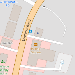
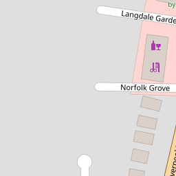
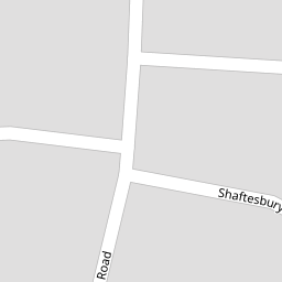
Images
Nearby Streets
| Name | Average Price | Average Sqft | Distance |
|---|---|---|---|
| Shaftesbury Grove | £ 0 | 0 | 0.00 KM |
| Farnborough Road | £ 0 | 0 | 0.00 KM |
| College Close | £ 0 | 0 | 0.00 KM |
| Harrod Drive | £ 650,000 | 0 | 0.00 KM |
| Grosvenor Gardens | £ 625,000 | 0 | 0.00 KM |
Nearby Transport
| Name | NLC | TLC | Distance |
|---|---|---|---|
| Hillside | 2231 | HIL | 1.14 KM |
| Birkdale | 2352 | BDL | 1.70 KM |
| Southport | 2262 | SOP | 3.38 KM |
| Ainsdale | 2350 | ANS | 3.58 KM |
| Meols Cop | 2357 | MEC | 5.30 KM |
Nearby Listings
| Address | Price | Type | Score | Distance |
|---|---|---|---|---|
| Liverpool Road, Birkdale, Southport, PR8 | £ 260,000 | BUY | 8 / 10 | 0.11 KM |
| Liverpool Road, Southport, Merseyside, PR8 | £ 145,000 | BUY | 7 / 10 | 0.12 KM |
| 300B liverpool Road Southport PR8 4PW | £ 360,000 | BUY | 7 / 10 | 0.15 KM |
| Liverpool Road, Birkdale | £ 360,000 | BUY | 8 / 10 | 0.15 KM |
| Southport, Merseyside, PR8 | £ 250,000 | BUY | 7 / 10 | 0.17 KM |
Nearby Properties
| Address | Price | Distance |
|---|---|---|
| 10 Norfolk Road | £ 192,000 | 0.00 KM |
| 14 Norfolk Road | £ 140,000 | 0.00 KM |
| 8 Norfolk Road | £ 120,000 | 0.00 KM |
| 9 Norfolk Road | £ 160,000 | 0.00 KM |
| 13 Norfolk Road | £ 165,000 | 0.00 KM |